
CLANTON, Ala. – A broken line of supercells will move into northwest Alabama between 10 pm and 1 am, move southeastward and exit the state by late Saturday afternoon.
Near and north of I-20/59, conditions are favorable for damaging straight-line winds and a few tornadoes. In addition, for areas north of I-20 and west of I-65 are favored for EF2 or greater long-tracked tornadoes and straight-line wind gust above 70 mph.
Non-thunderstorm winds will increase both ahead of and behind the line of storms across the northern half of the state later today. A Wind Advisory is in effect from 7 pm through 1 pm Saturday for gusts up to 40 mph.
As the line of storms reaches the I-20/59 corridor early Saturday morning, it will weaken, but the redevelopment of a couple of damaging straight-line wind producing storms are possible south of I-85 and east of I-65 from late Saturday morning through mid-afternoon.
We are in the heart of our spring severe weather season, and nighttime tornadoes are not unusual. If you haven’t reviewed or developed your severe weather plan yet, go to https://www.ready.gov/severe-weather for more information.
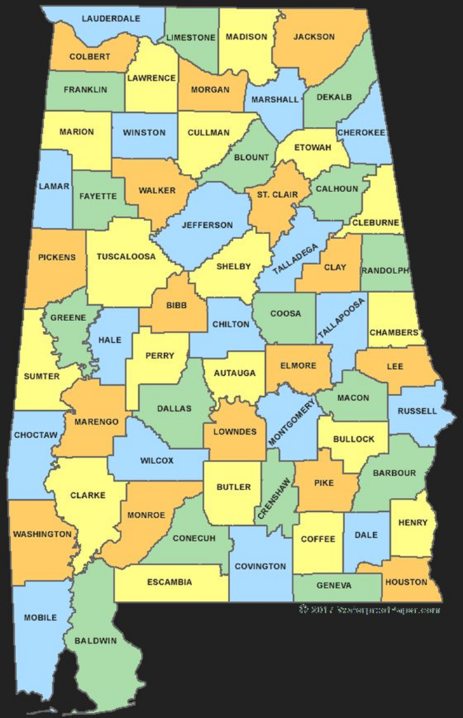
Below is an Alabama county map. SAVE it to your phone. Print and hang it on the refrigerator. Have it with you when watches/warnings are issued and know both what county you live in and the names of surrounding counties to give yourself extra time before storms arrive.
Finally, have at least two methods to receive severe weather warnings that will wake you up in the middle of the night, one of which IS NOT an outdoor siren. Outdoor warning sirens are meant just that…for people that are outdoors, and they can fail.


