
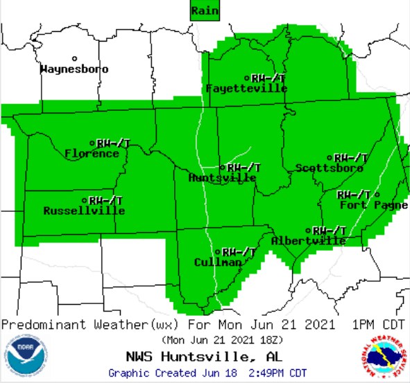
HUNTSVILLE, Ala. — The National Weather Service Huntsville forecaster issued an updated forecast Friday afternoon, showing that the tropical system coming up from the Gulf Coast will pass south of Cullman County with little effect. The region will instead be impacted by heavy rains from a separate system on Monday.
“The tropical system will take a sharper northeast turn through the day Saturday, with the center tracking just south of Birmingham by Sunday morning,” wrote the forecaster. “This will keep a majority of the precipitation along and southeast of its track, so at this point, the threat of excessive rainfall for our southeast counties (in the NWS Huntsville service region) is still rather low.”
Copyright 2021 Humble Roots, LLC. All Rights Reserved.


