CLANTON – Monday, 8:45 am, May 25, 2026
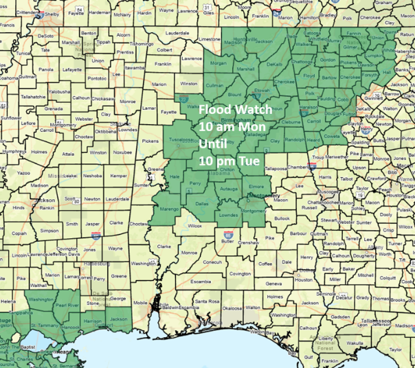
A Dense Fog Advisory is in effect for parts of central Alabama until 10 am, and a Flood Watch is in effect for portions of the northern and central sections from 10 am until 10 pm Tuesday. This includes the cities of Montgomery, Birmingham, Tuscaloosa, and Huntsville.
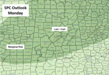
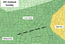
A clearly defined Mesoscale Convective Vortex (MCV) or very small area of low pressure was located in eastern Mississippi, northwest of Mobile at 830 am. This MCV will trigger numerous showers and thunderstorms, some with torrential, flooding rainfall and wind gusts from 40-60 mph as it tracks into western Alabama later this morning. In addition, a couple of brief tornadoes are possible, generally south of I-20 and west of I-65.
Widespread 1-2 inches will occur across much of the state today, with some areas potentially receiving 4+ inches.
After a general decrease in activity, another round of thunderstorms will develop across portions of Alabama on Tuesday. This trend will continue through this weekend with scattered to numerous showers and thunderstorms each day. There is low confidence in the timing of these disturbances each day, but there will continue to be a threat of very heavy rainfall in stronger storms, as well as strong wind gusts.
Do not attempt to drive through water-covered roads. It takes less water than you might think for your vehicle to lose contact with the roadways. Turn around, don’t drown!