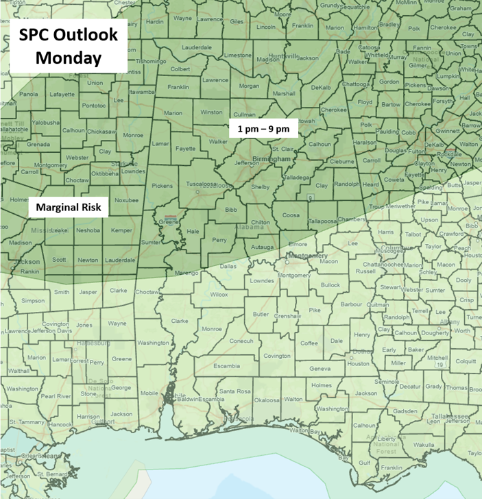
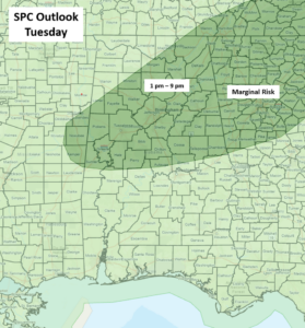
Scattered to numerous showers and thunderstorms will develop across the northern half of the state, mainly during the afternoon and early evening hours both today and Tuesday, with isolated activity across the southern half. Especially across the northern half, a few damaging wind gusts of 40-60 mph are likely, along with frequent lightning and very heavy rainfall in spots, as the atmosphere will become very unstable each day.
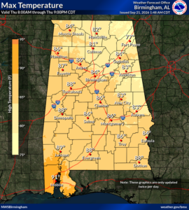
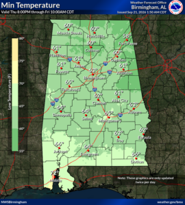
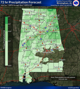
Temperatures will remain well above normal through Tuesday, with highs in the 90s and overnight lows from the middle 60s to lower 70s. Rainfall totals will generally be 0.5 inch or less, but some spots could receive 1 inch or greater with the stronger storms.
Unfortunately, there will be areas of the state with little to no rainfall over the next couple of days, and no precipitation is forecast anywhere in Alabama from late Wednesday through the weekend. The rainfall that does occur will not have much impact on the ongoing drought in both the western and southern sections of the state.
The good news is that temperatures will FINALLY cool down later this week! A cold front will move through Tuesday night through Wednesday. High temperatures Thursday through Saturday will mostly be in the 80s and lows from the 50s north with lower to middle 60s elsewhere.