










Periods of showers and thunderstorms will occur across most of the state from early this morning through around midnight Sunday, with activity lingering in the far southern sections well into Sunday morning.
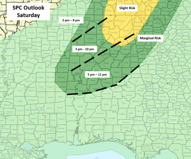
There will likely be many places that don’t receive rainfall today, especially this morning. One lingering question is whether morning cloud cover and rainfall will inhibit the potential for severe weather later this afternoon and evening. At this point, it appears the atmosphere will recover, become unstable, and a line of thunderstorms will develop ahead of a surface front moving from northwest to southeast this afternoon and evening.
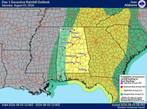
Torrential rainfall with localized flooding is possible across much of the state. In addition, damaging wind gusts will also be possible with the line across both the Slight and Marginal Risk areas. The line of storms will weaken by midnight as it moves into the southern sections of the state.
Isolated to scattered showers and thunderstorms are forecast for the northern 2/3 of Alabama on Sunday, with scattered to numerous showers and storms over the southern 1/3. A couple of storms in the southern sections could produce a couple of wind gusts from 40-60 mph during the afternoon and early evening hours.
A return to normal summertime isolated to scattered storms is forecast for much of the upcoming workweek, but many areas will remain dry.